Introduction
Geotechnical engineering plays a critical role in ensuring the safety and durability of structures by analyzing the physical and mechanical properties of soil and rock environments. At the heart of this discipline lies geotechnical data collection and characterization—a process that directly influences the accuracy of engineering decisions.
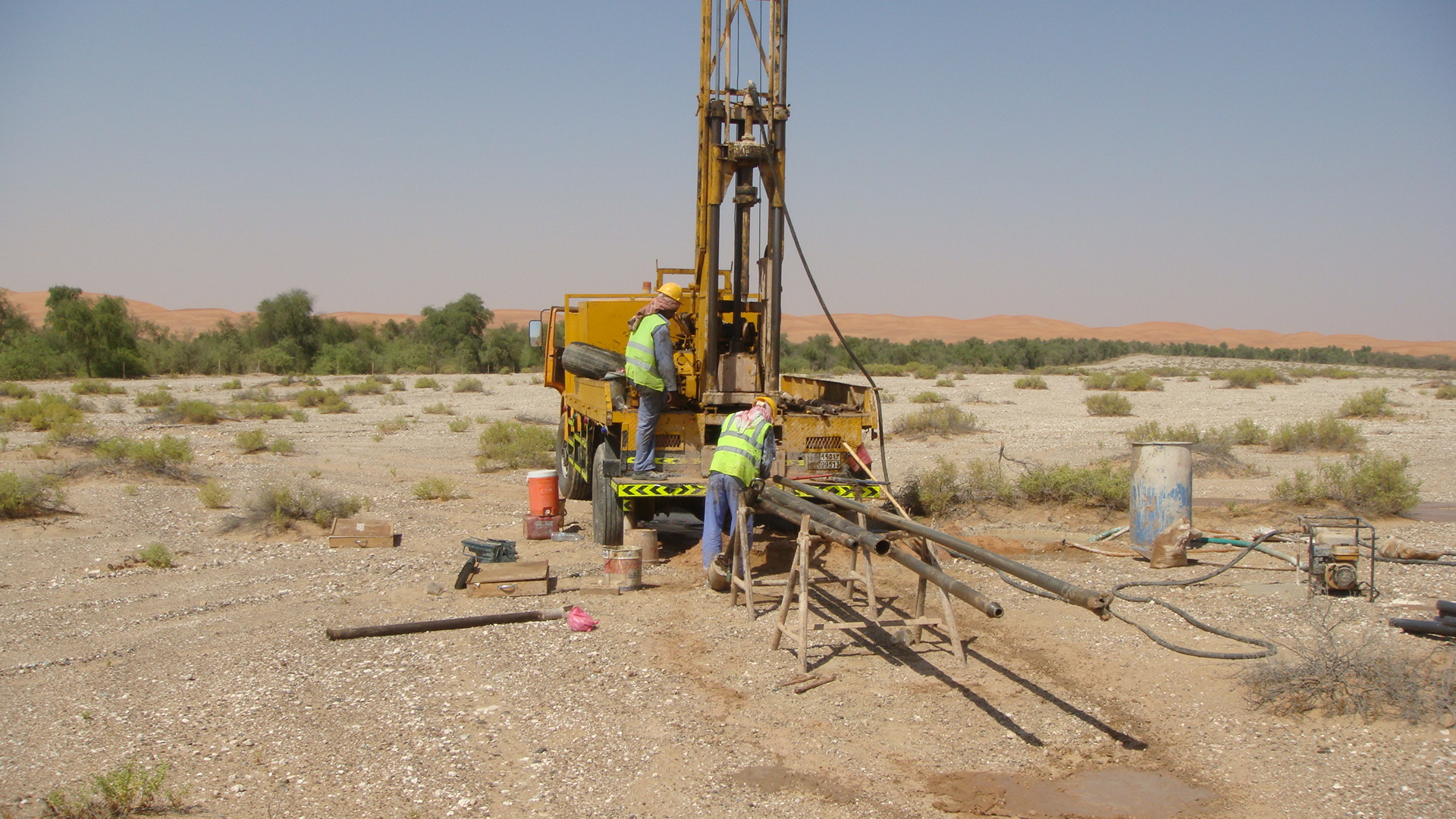
📍 Data Collection Process
Geotechnical data is gathered through both field investigations and laboratory testing:
-
Field Investigations:
- Drilling and Sampling: Essential for constructing soil profiles.
- Standard Penetration Test (SPT): Measures soil resistance to penetration.
- Cone Penetration Test (CPT): Provides detailed stratigraphy and soil behavior.
- Geophysical Methods: Seismic, electrical, and magnetic surveys offer insights into subsurface conditions.
-
Sample Collection:
- Both disturbed and undisturbed samples are extracted for lab analysis.
🧪 Characterization Techniques
Once collected, the data undergoes various tests to determine soil properties:
-
Physical Properties:
- Grain size distribution, moisture content, specific gravity, and plasticity.
-
Mechanical Properties:
- Shear strength, compressibility, consolidation, and permeability.
-
Chemical Properties:
- Salt content, organic matter, and pH levels.
🧠 Data Analysis and Modeling
Characterized data is used in engineering models and design calculations:
- Soil classification (USCS, AASHTO)
- Bearing capacity estimation
- Settlement analysis
- Slope stability evaluation
- Numerical modeling (e.g., Plaxis, GeoStudio)
🌍 Applications
- Foundation design
- Road and bridge construction
- Dam and tunnel engineering
- Ground improvement techniques
- Risk assessment and disaster mitigation
Conclusion
Geotechnical data collection and characterization are indispensable for the success of civil engineering projects. When performed accurately, they form the foundation for safe, cost-effective, and sustainable infrastructure.
